Overview
ForeSight detects crop problems early, before they have much impact, when problems are easiest to treat.
ForeSight's Growing Season Program provides images every three to four weeks. You get data the next day to address problems quickly. Have special situations? We're flexible.
To learn more about ForeSight programs, technology, and problems detected, explore the rest of this website.
Problem Detection Imagery
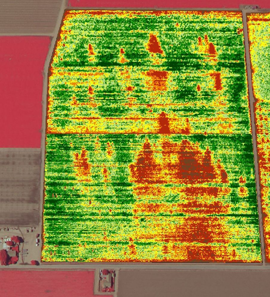
Tomato Crop - 20 acres
Colorized NDVI Zones
Damage in Orange
For information, contact:
Kevin Spry
1-805-748-7153 Kevin.Spry@GeoG2.Com
ForeSight Services
Problems Detected
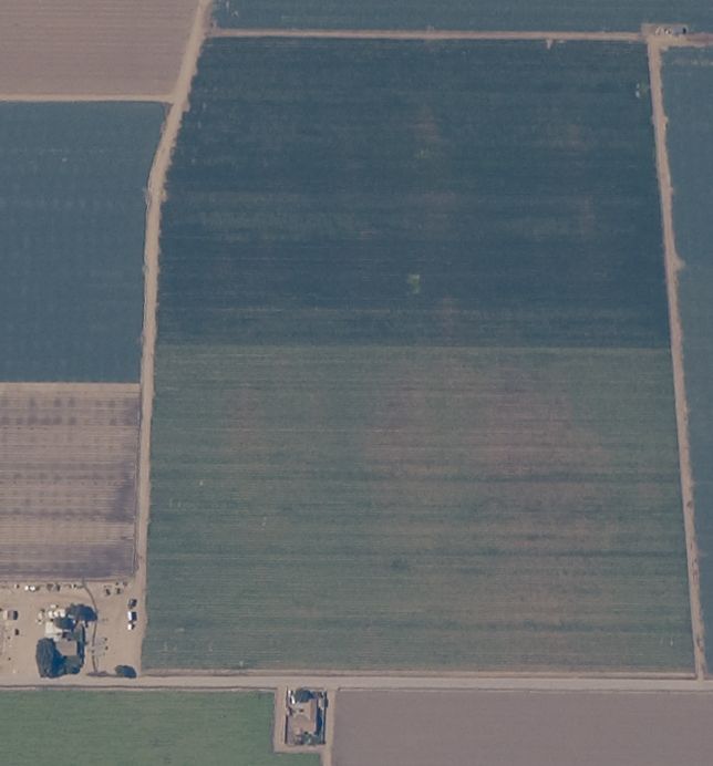
Crop Sample Imagery