Technology
ForeSight technology is designed and built specifically for agriculture needs.
 Accurate Measurements. Each point (pixel) is individually measured. No
low resolution sensors that "guesstimate" or smear data across many pixels.
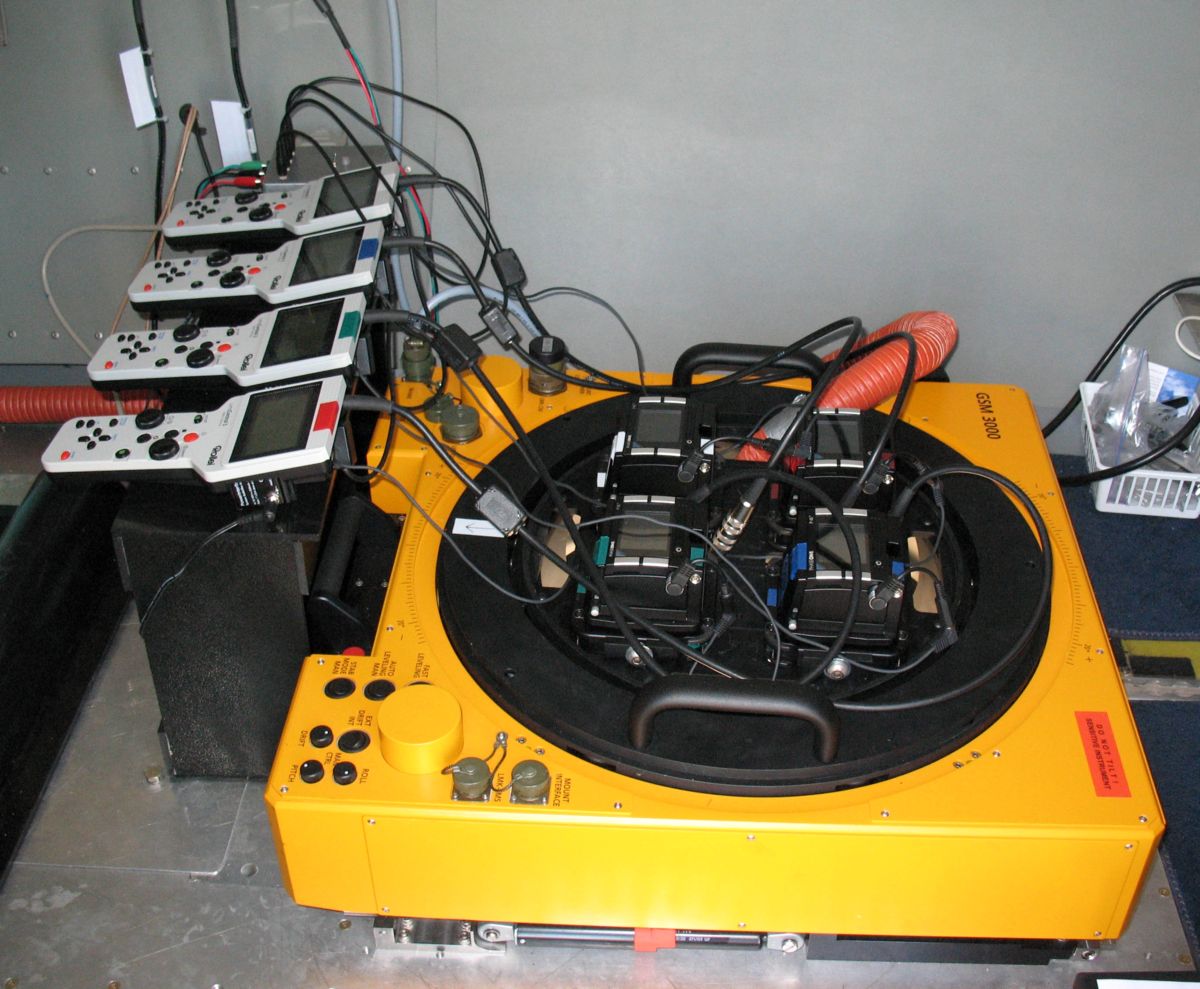
Custom Camera System. 40 megapixel color camera and three 40
megapixel monochrome cameras (infrared, red and green).
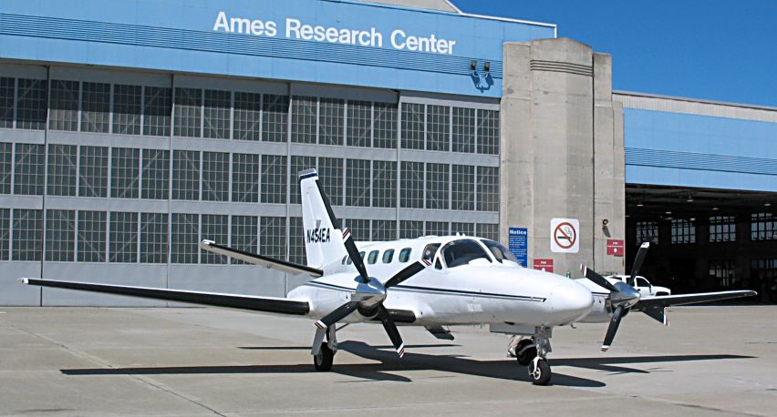
Optimized Data Collection. Our plane collects images from directly
overhead for more accurate NDVI measurements. We schedule around
early morning fog or other weather patterns.
Optimized Image Processing. Images are downloaded from the four
cameras, combined, pixels are GPS referenced, the NDVI calculation is
done, and the results emailed to you the next day.
ForeSight can be integrated with your existing geographic information system (GIS).
Problem Detection Imagery
ForeSight Camera System
Mounted on gyrostabilizer
Makes 8,000 NDVI measurements/acre
GeoG2's Turboprop
Covers 1,250,000 acres
per day of flying
For information, contact:
Kevin Spry
1-805-748-7153 Kevin.Spry@GeoG2.Com